Streets and buildings
Start with a street segment or a building and preserve the relationship between facades, paths and surroundings.
Facades, street corners and the relationship between displays shape the experience of a place. Use MakeWorlds to organize spatial imagery for cultural presentation and future tour production.
Start with a street segment or a building and preserve the relationship between facades, paths and surroundings.
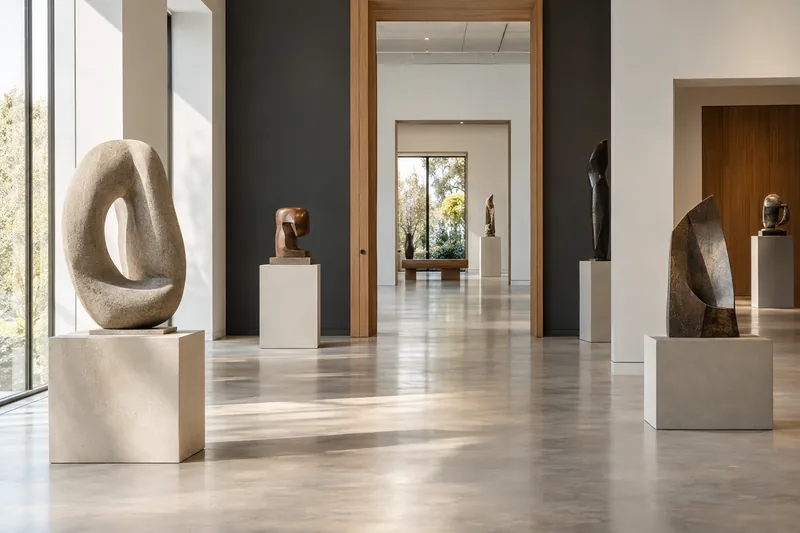
Record where displays sit in the space as context for an interpretation sequence and viewing route.
Create a reviewable scene first, then plan interpretation, hotspots and interaction in the chosen presentation tool.
01
Choose the building, route or exhibit you want to explain, then capture connected views in areas where photography is permitted. Each set of media should support a clear viewpoint and subject.
Maintain overlap between views and add coverage around corners, entrances and street connections.
Capture the overall space before recording details such as doors, decorations or displays, so close views retain context.
Reduce moving crowds, vehicles and strong lighting changes where possible, and keep capture dates with the original media.
02
Review the entrance, turns and key displays in sequence, checking for visible gaps along the route.
Record the place, capture area and date, and keep both the original media and Studio project for later interpretation.
03
Use the local workflow for reconstruction, review and basic editing, then export Gaussian PLY. Interpretation, interactive hotspots and web presentation require further work with the planned editions or your chosen presentation tools.
Save the project and export the sceneUse free Standard for local reconstruction, training, basic editing and PLY export.